Heading North
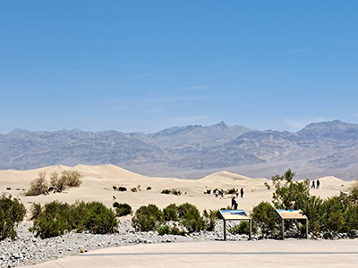
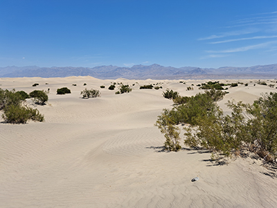
On Saturday morning, we prepared to depart from Death Valley, but not until we visited one more interesting site: Mesquite Flat Dunes. This is what I think of when I think about a desert: dry rolling hills of sand, with sparse vegetation. This is probably the most crowded place we visited in Death Valley, as it is easily accessible (near Stovepipe Wells, as you exit the park towards the north) and it was still fairly early in the day. The heat warnings were out, but visitors weren't hesitating to go walking for short distances through the shifting sands.
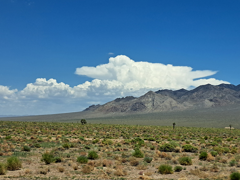
But as we began the ascending drive out of Death Valley, we returned to the landscape that I quickly came to identify in my mind as "Nevada Standard." Wide rolling basins between small mountain ranges. The tectonic means by which Nevada was formed resulted in mountain ranges running north to south, each separated by deep valleys. As you drove, if the highway was straight and level, you were in a valley going north or south. If it were up and down and curvy, you were crossing mountains and valleys going east or west. This pretty much proved true for our entire trip.
I quickly fell in love with Joshua trees. As we traveled north, they became more sparse and far between, but in the areas around Pahrump, they were still fairly common.