The Diamond Loop Trail
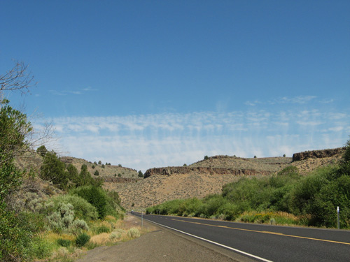
Leaving John Day, we headed south toward the town of Burns, and its "suburb" Hines, where we wanted to find the Bureau of Land Management to get a guide to the Diamond Craters area. On the way, at a rest stop, we saw this incredibly blue sky with an unusual cloud formation. It looked like heat rising from the desert.
The Diamond Craters (55 miles south of Burns) have been called the most "diverse basaltic volcanic features in the United States." In this one very wild, remote region, you can see craters, domes, lava flows, and more examples of the vulcanism that formed much of Oregon. What's called the "Diamond Loop" is another of the scenic byways featured on traveloregon.com.
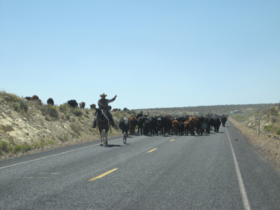
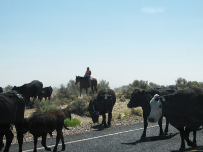
As we were driving the long highway from Burns to Diamond (the "High Desert Discovery Scenic Byway"), we noticed something miles ahead in the middle of the road. We couldn't quite make out what the commotion was, until we got closer.
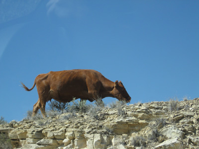
Yes, cowboys are alive and at work in Oregon, driving herds of cattle straight down the middle of the highway (and on either side as well).
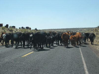
Once past the cattle, we had to keep a sharp eye out for the turnoff to the Diamond Craters Outstanding Natural Area.